A chance find online that gets you thinking…
Digital "Lost Places"
Tuesday, April 7, 2026
“Counterfactual architecture” yields almost no results on Google (at least in German)….
Sometimes you need map tiles from a WMS server…
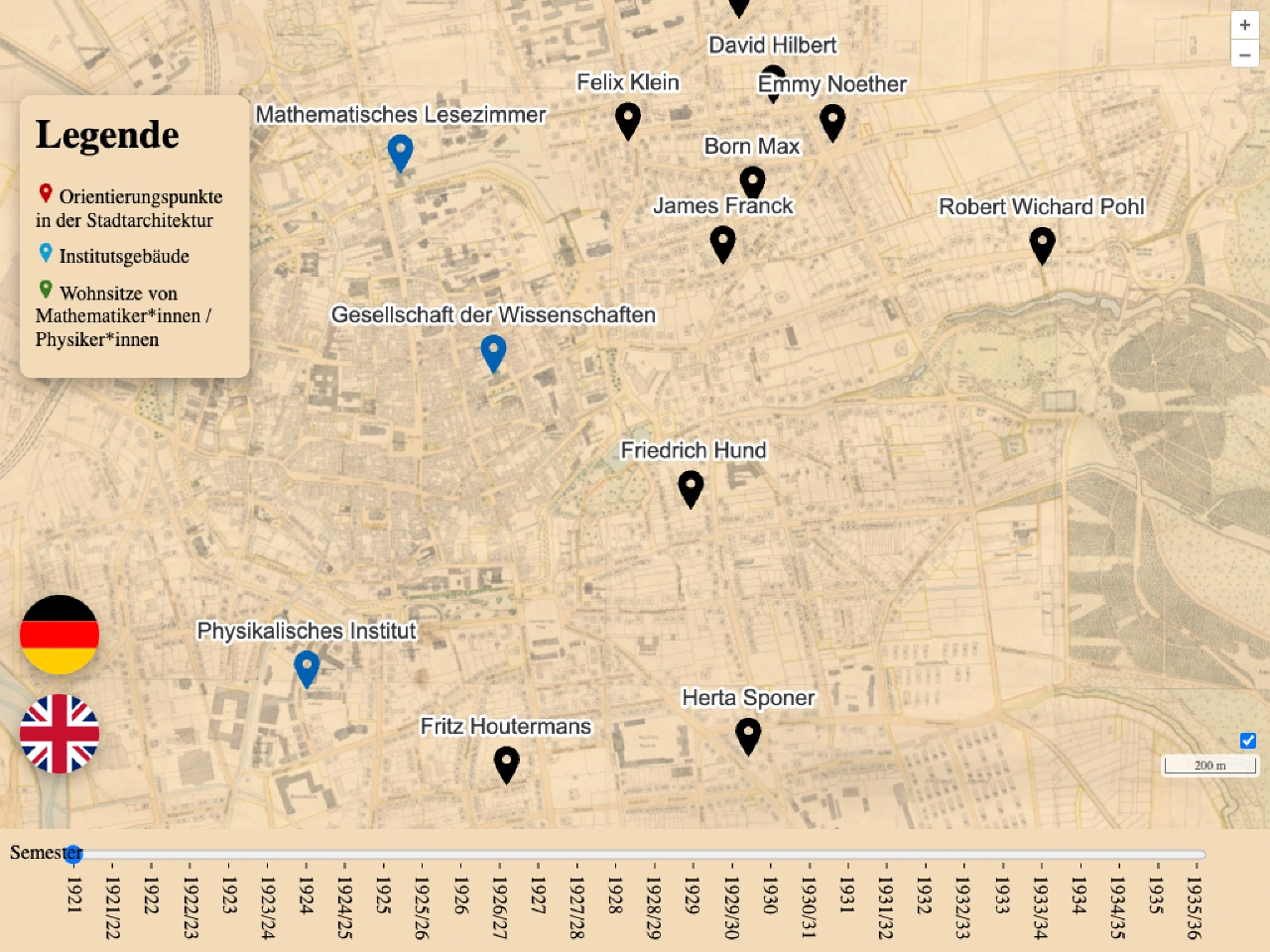
Today (26 March) is the opening of the exhibition ‘Was zum Quant?!’ in the Forum Wissen. You can also see a digital exhibit in which I was involved…
…is “old news” by now: Neither when it comes to the effects that can be recognised in old works, nor as an object of art itself.
Since the use of freely available map services requires communication with external services as well as limited design, it was time for something of my own…
Kibana visualisation with room plans needs data, e.g. from devices in a building. But the data has to come from somewhere…